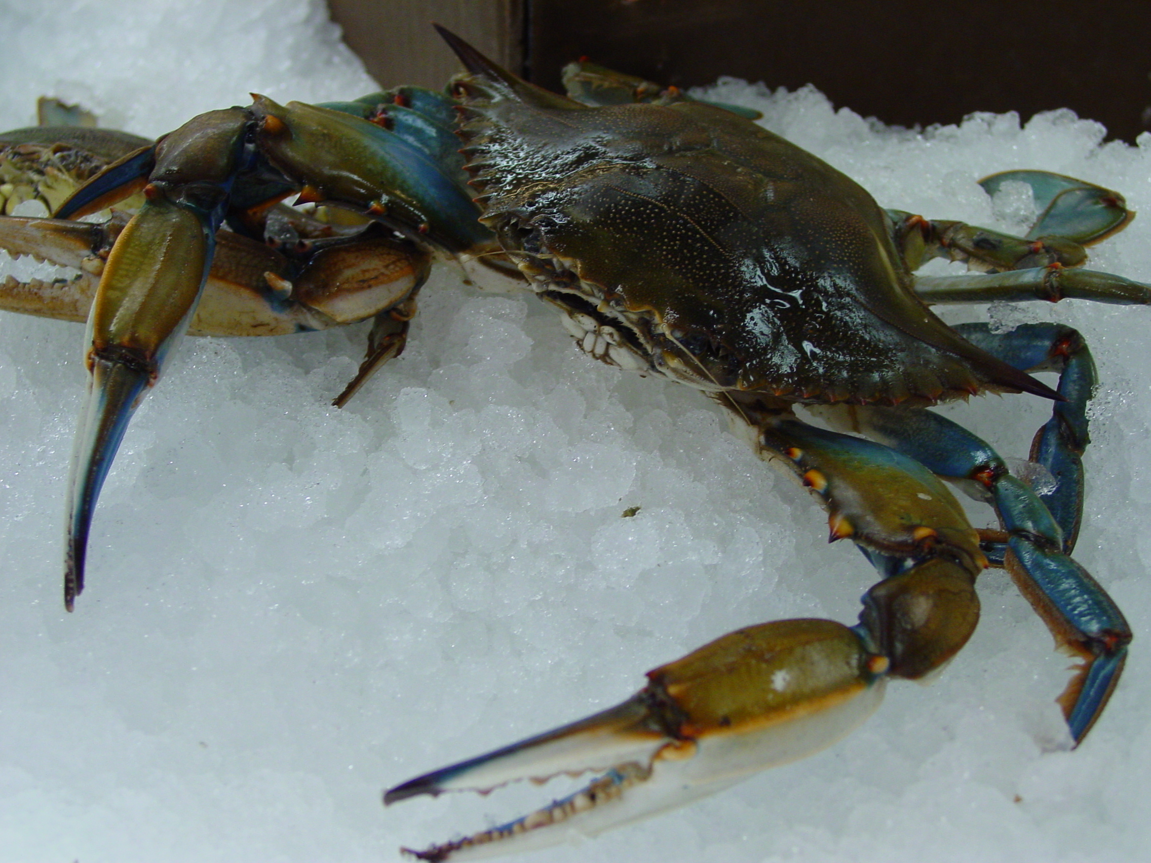
 Bioregionalism is the celebration of the unique cultural and ecological features of small geographic areas - and is the philosophical basis of Buy/Eat Local campaigns.
I love the EPA Ecoregion project. Follow the link to the most detailed (IV) ecoregion map and click on your favorite part of the country. There you'll find your local ecoregion as defined by climate, soil type and native vegetation.
The drive south from upstate New York to the Atlantic beaches of Delaware took me through the jigsaw geography of the Appalachians, accompanied by dozens of ecoregion transitions. Hugging the southeastern foothills of the Appalachians, the Piedmont plateau stretches from New Jersey to Alabama. This plateau then falls steeply along the Fall line to the Atlantic Coastal Plain, which gently slopes into the Atlantic Ocean and Gulf of Mexico.
Delaware is a low, flat and marshy place. It exists almost entirely within the Middle Atlantic Coastal Plain (zone 63). Zone 63 is the middle section of the full Atlantic Coastal Plain, includes all of the Delmarva Peninsula and is most prominent in the eastern Carolinas. The beaches and bays of Delaware's short Atlantic Coast (as opposed to it's long border with the Delaware Bay) belong specifically to zone 63d, the "Virginian Barrier Islands and Coastal Marshes."
Driving south on DE-1 quickly removed me from the highly-populated Philadelphia metropolitan area to the state's more rural majority. Below the capital of Dover and Miles the Monster, Delaware begins to stretch into the ecological South. The flat landscape fragments into a fine-grained patchwork of corn, soybeans, woodlots and wetlands, speckled with little evangelical churches and beach-oriented tourist traps. In between small towns, wide creeks slowly seep out towards the tidal marshes of the Delaware and Chesapeake bays.
Landmarks in this part of the state carry unique names that often seem to allude to a more difficult past: Hardscrabble, Old Furnace, Muddy Branch, Gumboro, Skeeter Neck, Black Hog Gut, Slaughter Beach and the Murderkill River. Neck, gut, branch and beach are landform-specific nouns that are frequently encountered along this drive. Aside from the legendary fisheries of Maryland's Eastern Shore (blue crabs!), this region was originally best known for peaches (Delaware's state flower), melons and other warm climate high-value crops. Today, it's probably best known for chicken factories. Much of this soggy peninsula was never really inhabited, at least following European colonization. To some extent this may be changing as the coastlines are developed for resorts and vacation homes.
Trap Pond State Park is one of many great, small parks scattered within an easy drive of Peninsula resort towns. It's in many ways typical of Southern coastal forests. It's a swampy bottomland, topped by strong straight loblolly pine, mixed with oaks, gums and the smooth and sinewy, lichen-splattered limbs of understorey holly (Delaware's state tree). I was there for it's atypical feature: possibly the most northern natural stand of baldcypress trees. The first image is one most usually associated with alligator-filled bayous, the main haunt of these trees. The second is an up close and personal view of the trees' "knees." The third image is as close as I could get to an "island" of baldcypress trees in the middle of the lake.


See the frog in the last picture? There were a few that appeared to be adults, and hundreds of (juveniles?) less than an inch long, that scattered underfoot along parts of the trail. There were also some large, colorful beetles and butterflies (and a large snapping turtle diverting traffic on our way back to the beach). Subtropical forests like this are also known for mosquitoes, biting flies, ticks and chiggers. Thankfully, I encountered few of these.
My week over and full of crabs and vitamin D, I headed back north.
For many Delawareans, The Canal (along with the "vertical" section of the Mason-Dixon Line) cuts off the top of Delaware's most populated (of 3) counties, and associates them with the Urban Northeast, and forms a psychological barrier between them and the long, slow, punctuated gradient through "Slower, Lower [Delaware]" to the cultural South.
I'm always fascinated by such arrogant local nationalism. Growing up along the Mason-Dixon Line, I was accustomed to people aggressively asserting whether they belonged to the "North" or "South." At the extremes, I've listened to Georgians derogatorily refer to anyone north of South Carolina as yankees, and have heard that Bay Staters tend to proudly retain the same word only for their brethren who have lived in New England for a sufficient number of generations.
At any rate, crossing north on the Canal bridge lifts you above the Middle Atlantic Coastal Plain and presents a view of the rolling hardwood forests that define the Piedmont Uplands of southeast PA. Shortly after crossing the Canal, I lost sight of formerly plentiful roadside southern pines - likely a result of land history, not climate.
Just a little farther north, where I-95 briefly traverses Delaware, the state's largest city sits on the marshes of the Delaware Bay. Wilmington is a small, successful city, powered by highly-subsidized bank and chemical companies and surrounded by the converted rural estates of 19th-century industrialists and the extensive suburbs that voraciously metastasize across all farmland within reach of the BosWash megalopolis. One or two highway exits brought me back up onto the Piedmont, up through the rippled Appalachians and back to the Eastern Great Lakes and Hudson Lowlands.


No comments:
Post a Comment